NSF Grant Funds Research on Ancestral Rocky Mountain Formation
The Rocky Mountains stretch almost 3,000 miles, all the way from British Columbia to New Mexico, forming some of the most iconic mountain views in North America. As stunning as a Rocky Mountain vista is, there is an older, more mysterious period to their history known as the Ancestral Rocky Mountains.

In a recent, three-year, $426,071 collaborative grant from the National Science Foundation, Saylor and his collaborators will reconstruct the history of the Ancestral Rocky Mountains, the sedimentary rock which formed today’s Rocky Mountains. This research will include piecing together a history of an ancient river system that was re-routed due to mountain formation. Collaborators include UH professor of geology Tom Lapen and Washington and Lee University professor of geology Jeffrey Rahl.
A History of the Ancestral Rocky Mountains
“The story we have of North America during the Paleozoic is still incomplete,” said Joel Saylor, assistant professor of geology in the University of Houston’s Department of Earth and Atmospheric Sciences. “I am constructing a clearer picture of what the Western U.S. looked like during that time period.”
The Ancestral Rocky Mountains, which existed in the late Paleozoic between 320 million to 280 million years ago, were formed during the time when Africa and North America were coming together. These mountains eventually eroded, leaving behind layers of sedimentary rock. About 80 million to 40 million years ago, these rocks were uplifted once more, forming the current Rocky Mountains.

“Mountains erode easily,” said Saylor, who has been a faculty member in the College of Natural Sciences and Mathematics since 2013. “While the history of a mountain can get lost within the mountains themselves, the basins next door often act as an archive of information.”
River Systems During Periods of Mountain Formation
Before the Ancestral Rocky Mountains formed, a river system ran through the continent, picking up sediments from the Appalachian region and depositing them on the West Coast.
Saylor and collaborators are interested in how and when that river system was re-routed, as that will provide information about mountain formation during that time period.
“The question is, what happened to this transcontinental river system when it got blocked by a zone of uplift?” Saylor said.
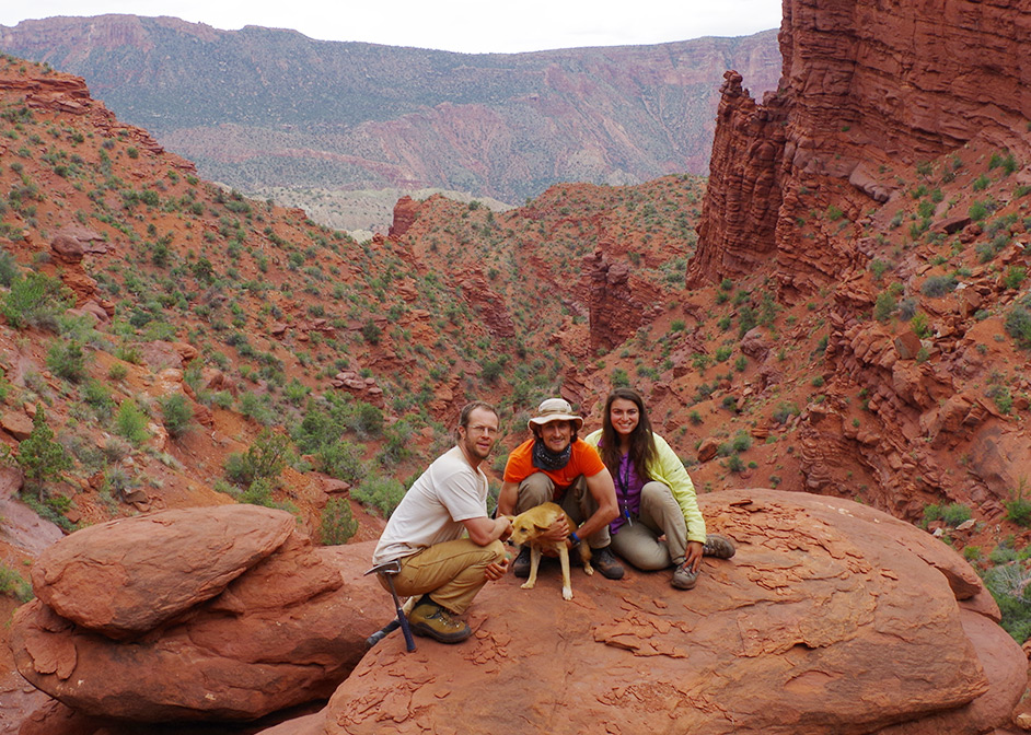
To accomplish that, Saylor and his collaborators will be collecting samples at different locations throughout the Southwestern United States, looking for sediments from the Appalachian region, as well as for when sediment layers switch over to those of a more local origin.
“Seeing the change from Appalachian affinity sediments to more local affinity sediments is an indication the transit pathway, provided by a river system, has been shut off,” Saylor said. “It’s like turning the switch on, then off again.”
- Rachel Fairbank, College of Natural Sciences and Mathematics